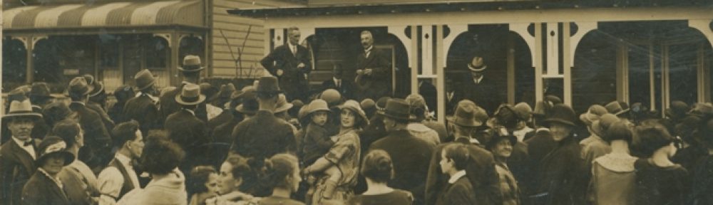
Have you been enjoying access to the City Section Maps for Leichhardt, Balmain and Annandale.
Well it’s just got a whole lot more exciting with a Geo referencing project from the State Library of NSW
http://www.sl.nsw.gov.au/using/map_georeferencing.html
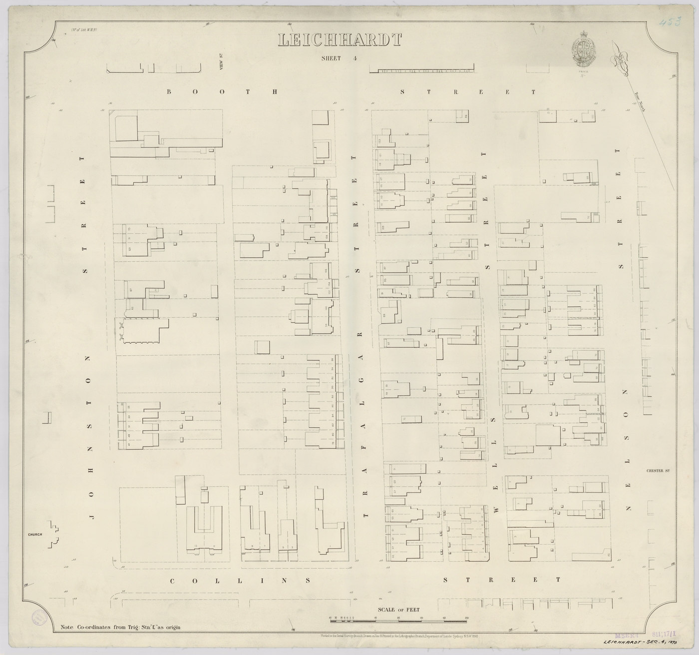
Are you interested in local history and old maps? Would you like to see how the streets and suburbs of Sydney have changed over the past 100 years? Help us place a selection of digitised maps of Sydney!
Using our online mapping tool you can quickly create an overlay of an old map on top of current mapping and compare the past with the present. In our first geo-referencing project we are featuring around 1,000 maps of inner Sydney. Many of the streets have changed names or even disappeared. Identifying the locations can be like solving a puzzle.
Your name will be credited for any contribution you make and your efforts will significantly improve public access to these collections. Contributors can see the results of their work, as well as the progress of the pilot and other participants.